Partner City
Princeton
Where Rivers and Friends Meet
Indigenous peoples have come to Princeton for thousands of years to seek the valuable red ochre found in a bluff a short distance west of town. When Europeans, like the pioneer John Fall Allison, began to settle here at the confluence of the Tulameen and Similkameen rivers at the end of the 1850s, they called the place Vermilion Forks after the ochre they found on the riverbed. More settlers followed, and by the end of the 19th Century the settlement--by then renamed Princeton--was surrounded by a network of gold, copper, and coal mines. Since then Princeton's fortunes have risen and fallen with the mining industry. Happily it has avoided becoming a ghost town like many other nearby mining communities, thanks to the excellent grasslands, soil, and forests that have supported diversified industries based in the town. Today Princeton's economy relies heavily on logging, and tourism, since the region furnishes an enormous number of summer and winter recreational opportunities.
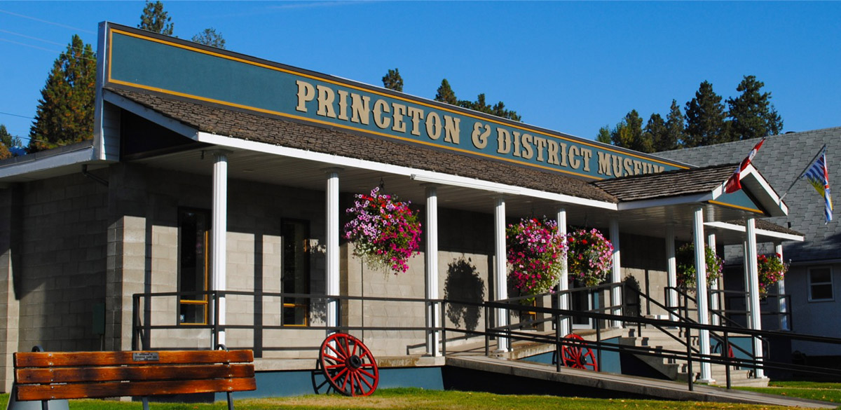
This project is a partnership with the Town of Princeton and the Princeton & District Museum and Archives.
We respectfully acknowledge that Princeton is on the unceded traditional territories of the Nlaka'pamux and Okanagan peoples.
Virtual Tours
Walking Tours
Princeton's Settler Story
Episodes in Princeton History
Bronze Sculpture Capital of Canada
Public Art in Princeton
Explore
Princeton
Then and Now Photos
First Tulameen Bridge
Princeton & District Museum Archives
1880
The rather rickety looking first bridge over the Tulameen in wintertime. It was a crucial connection for Princeton in those days, leading to the Old Hedley Road, the Princeton-Summerland Road, and of course up the Tulameen towards Granite Creek and beyond. It was destroyed by pack ice during winter-breakup and had to be replaced soon after. The second bridge was also destroyed, and now we're on the third bridge.
Hotel Under Construction
Princeton & District Museum Archives
ca. 1900
An early shot of downtown Princeton, showing few buildings.
Early Princeton View
Princeton & District Museum Archives
ca. 1900s
A shot of Princeton in its early days before many buildings have been built. In the central distance you can see the old courthouse on Vermillion under construction. Notice how low the ground is with the Tulameen River, a time before dykes were constructed, meaning that flooding could be an occasional occurrence.
View from the South
Princeton & District Museum Archives
ca. 1900s
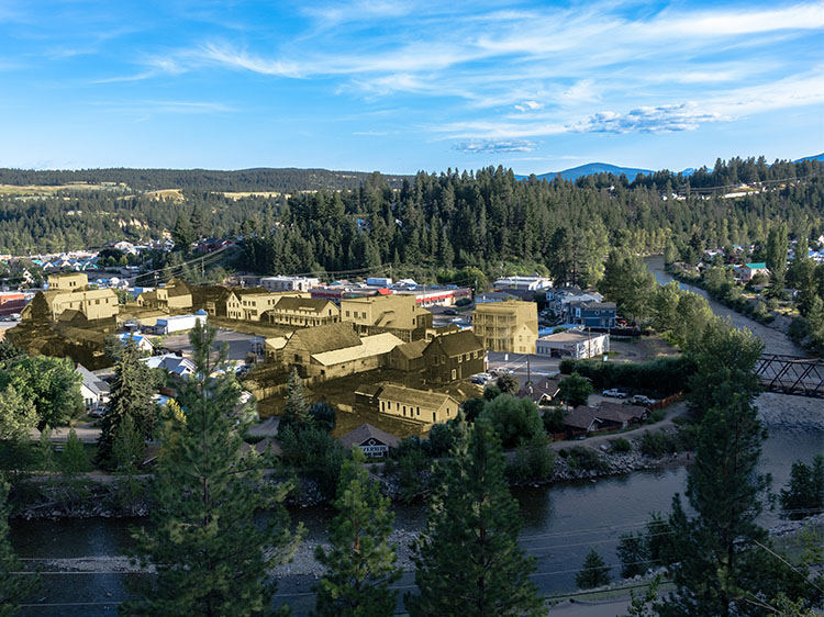
A view of downtown Princeton from the bluffs overlooking the town to the south.
Standing in Bridge St.
Okanagan Archive Trust Society
1915
A man walks across Bridge Street, in this shot taken right near the intersection with Vermillion. In those days there was such little vehicle traffic that one didn't have to think twice about jaywalking. The Similkameen Star offices are at right.
Cenotaph and the Legion
Princeton & District Museum Archives
1919
A photo of the Cenotaph showing the old Legion building in the background, and behind it the belltower of the fire hall that would summon volunteer firefighters in the event of an emergency. You can tell this photo was taken between the two wars since there is only one plaque on the cenotaph. Sadly, a second would have to be added to honour those who fell in another world war.
Residential View
Okanagan Archive Trust Society
1945
A view of homes in Princeton, looking across the Similkameen towards the north.


