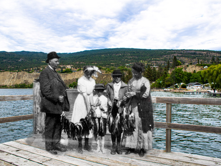
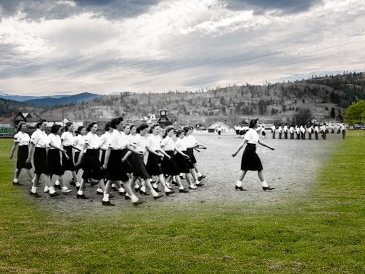
Located in the far south of the Okanagan, Lake Osoyoos is the warmest lake in Canada, surrounded by a vibrant desert ecosystem and lush green orchards and vineyards. The area has been home to the Syilx Okanagan First Nations for millenia and was originally called "Sẁiẁs", which refers to the narrowing of the waters of the lake. Europeans first passed through the South Okanagan in 1811 as part of the fur trade, and Osoyoos's first permanent white settlers were cattle ranchers and farmers in the late nineteenth century. The town also served as an important spot for government, as it was home to a customs house run by Judge Haynes, who was both deputy customs collector and a justice of the peace during his career. The first orchards in Osoyoos were planted in 1857, and since then, orcharding has become a major part of the culture and economy of the town. Today, Osoyoos is home to numerous orchards, vineyards, and wineries, and its thriving community enjoys some of the warmest weather in the country.
This project was made possible through a partnership with Visit South Okanagan, with support from Destination Osoyoos and the Osoyoos & District Museum and Archives.
We respectfully acknowledge that Osoyoos is within the ancestral, traditional, and unceded territory of the Syilx People of the Okanagan Nation.
Explore
Osoyoos
Stories
"sw̓iw̓s" - The Narrowing of the Waters
Osoyoos and District Museum and Archives 2008.001.073
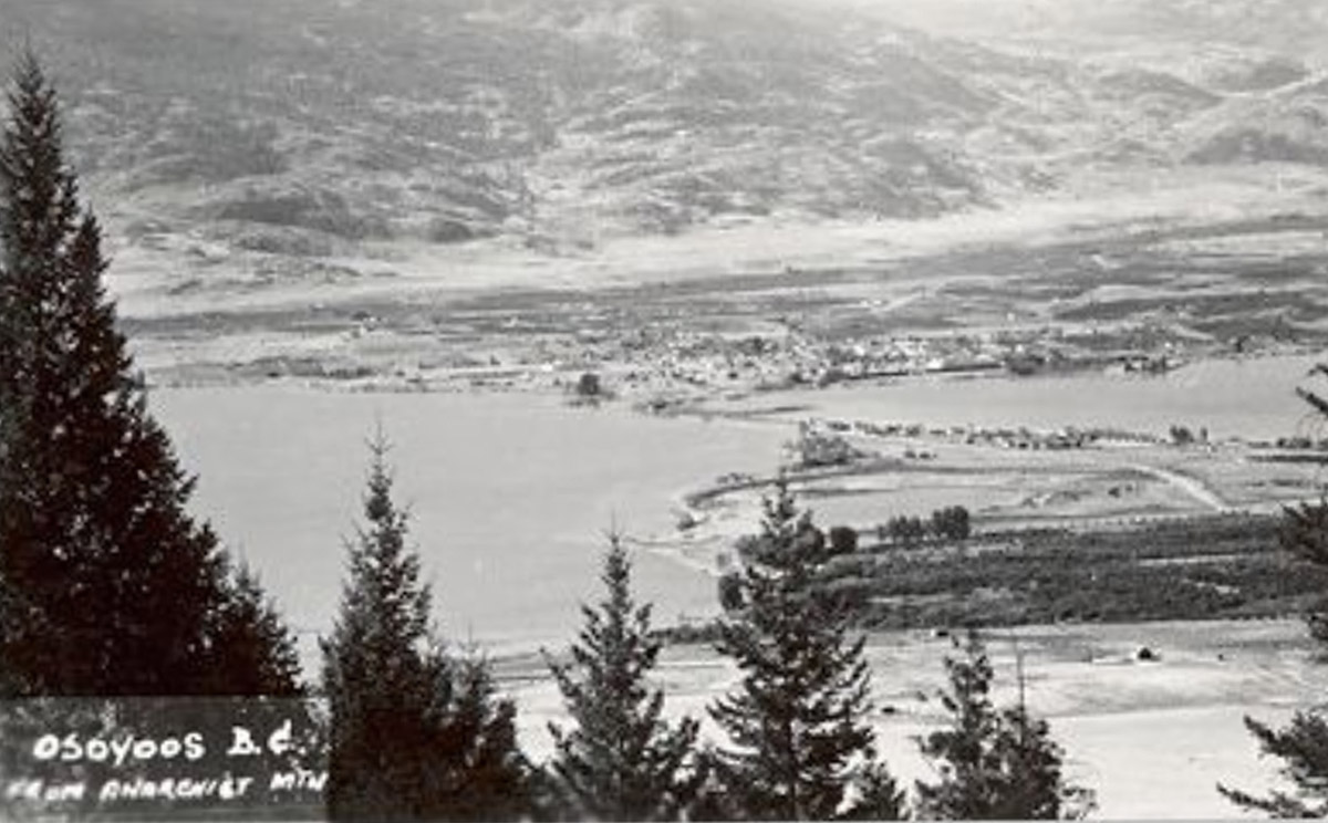
For thousands of years before the arrival of the first Europeans in the Okanagan in 1811, the sukʷnaʔqinx Okanagan First Nations people lived and thrived on this land, and today, their communities remain vibrant and strong. The Okanagan syilx Nation comprises seven communities in the Southern Interior of British Columbia and one in Washington State. These communities share the same land, nqilxʷcn/nsyilxcən language, culture, and customs and are a distinct and sovereign Nation. Their unceded traditional territory stretches from Mica Creek in the British Columbian interior down to Wilbur in Washington State and from Guichon Creek to Kootenay Lake in the east. The name "Osoyoos" comes from the nqilxʷcn word "súyus” meaning “narrow waterway where the land almost meets” which refers to the narrow spot in the lake that may have been used for crossing and is located where the Osoyoos Main Street bridge now sits. The other crossing ground is sw̓iw̓s, which refers to a spot in the middle of a lake where the land narrows or grows shallow. sw̓iw̓s, formerly known by the European name "Haynes Point", was originally a natural crossing spot on Osoyoos Lake, used by the sukʷnaʔqinx Okanagan People during their travels. Recent work in sw̓iw̓s park uncovered an important archaeological and culture site located on the point, and the park is now operated by the Osoyoos Indian Band.
The Earliest Fruit in Canada
Enderby and District Museum and Archives EDM-3726
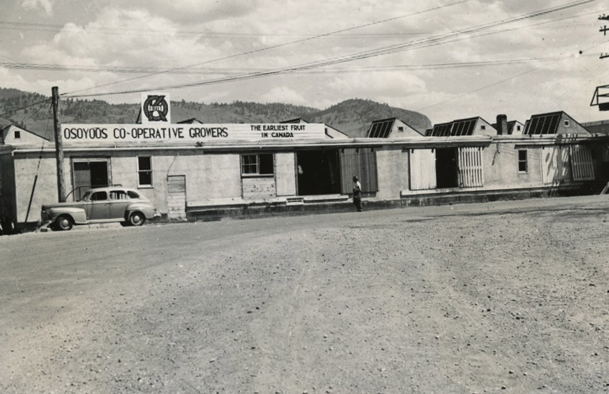
Ever since the first orchards in the Okanagan were planted beside Osoyoos Lake by Hiram F Smith in 1857, Osoyoos has been the home of orchards, fruit trees, and an economy which revolves around agriculture. As George Fraser wrote in The Story of Osoyoos in 1952: "Osoyoos residents do not boast of a climate unexcelled elsewhere but they will stoutly maintain that the Southern Okanagan shares with the Southern Similkameen the most pleasing year round climate in Canada, a climate that enables us to proudly boast of our district producing the earliest fruit in Canada."1 It's hardly surprising then that "the earliest fruit in Canada" was the town's slogan for decades.
Watering the Desert
The climate and ecosystems of the South Okanagan are unique to British Columbia. The desert grasslands are home to sagebrush, cacti, and the occasional ponderosa pine, and the area holds a rich depth of biodiversity. Around 190 species of birds breed in the South Okanagan, and the Okanagan Valley as a whole is home to more species of plants and animals than most other areas of the province—or the country for that matter.1 The climate which created this unique and beautiful region has also proved to be perfect for growing fruit, yet in the beginning of the agricultural industry in the Southern Okanagan, one main problem persisted: water. The dry climate and desert-like ecosystem made irrigation a major challenge for early farmers. D.V. Fisher of the Dominion Research Station in Summerland described the irrigation systems in place during the early years of farming in the South Okanagan as "totally inadequate."2
Then and Now Photos
Old Osoyoos
Osoyoos and District Museum and Archives local identifier: 2004.001.001
1877
This panorama, taken in 1877 while G.M. Dawson was first mapping the Okanagan, shows Osoyoos before the town was built, looking south towards the narrows. The wooden fence in the foreground belonged to Theodore Kruger's garden, and the hand pump to the right of the photo shows the first manipulation of water in the area.
The Old Town Site
Osoyoos and District Museum and Archives 2011.011.001
This photograph looks west across the bridge towards the original townsite of Osoyoos. The town later shifted to the north.
Osoyoos Beach and Community Hall
Osoyoos and District Museum and Archives 2011.001.030
1930s
Built in 1934, the Osoyoos Community Hall sat on the lakeshore until it was demolished in 1995. It served as a place for community meetings, dances and music nights, and sporting events.
Haynes Family at Ranch
Osoyoos and District Museum and Archives 2011.008.013
1920s
This photograph shows the Haynes family at their ranch north of Osoyoos Lake. The group is standing with horses in front of one of their barns, built in 1916, which is still there today.
The Community Hall
Osoyoos and District Museum and Archives 2006.001.241
1940s
This photograph shows the Osoyoos Community Hall, which was located on the shores of Osoyoos Lake. It was built in the 1930s by the Community Club, which was founded in 1934 with the express purpose of getting a hall built. The Community Hall was demolished in 1995.
Main Street Looking West
Osoyoos and District Museum and Archives 2006.001.316
1940s
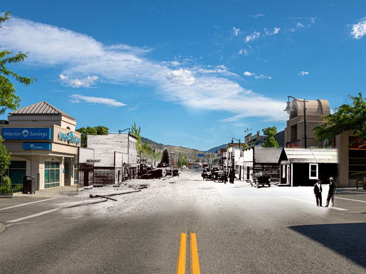
This photograph of Main Street looks west, away from Osoyoos Lake. The road is still unpaved, but cars are parked on the shoulders.
Main Street in the 1940s
Enderby and District Museum and Archives EDM-3726. B.C.'s Inland Empire photo no. 441
1940s
This view of Main Street is from the late 1940s, looking east towards the lake. The two-storey peaked building on the right was built in 1946 by J Jalovec and served as the home of his dry goods and tailoring business, Modern Tailors.
Cherry Carnival Tricycle Parade
1949
This photograph from the 1949 Cherry Carnival shows one of the festival's most popular events: the parade. As evident in this photo, the parade included an array of tricycles, bicycles, and baby carriages. There were also clowns, floats to represent various businesses, and a "pet parade" to bring up the rear.
Cherry Carnival Water Events
Osoyoos and District Museum and Archives
1949
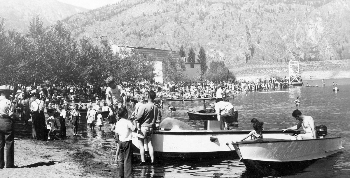
The first Cherry Carnival in Osoyoos took place on July 1st in 1949 and was heavily based around aquatic sports in order to take advantage of the warm Osoyoos Lake. This photo shows the large crowds gathered on the beach for the festivities, with many revelers either in boats or in the water.
The Cherry Carnival Parade
1949
Osoyoos's first annual Cherry Carnival, now known as the Cherry Fiesta, took place in 1949 on July 1st. This photo shows a parade down Main Street during the festivities.


