Walking Tour
Gyro Park Quest
Exploring Trail's Playground
Discover Trail's favourite playground like never before with this digital scavenger hunt!
Through 10 hands-on challenges, you'll uncover the park's rich history, explore its ecology, learn about the First Peoples of this land, and discover the story of Trail itself.
Restage historic photos, solve riddles, and observe the world around you as you make your way through the entire length of the park.
You can solve the challenges in any order you like, but we suggest planning for around two hours of adventure. It's the perfect experience for all ages and a way to get the whole family out and about.
When taking the hunt, always be aware of your surroundings: watch for vehicles when crossing roads, and stay well back from the riverbank at all times.
We would like to thank the Sinixt Confederacy for use of n̓səl̓xčin̓ audio recordings language from the language revitalization project.


This project is a partnership with the City of Trail and the Trail Museum & Archives, part of the celebrations of Trail 125. We also thank the Columbia Basin Trust, Teck Trail Operations, and FortisBC for their generous support.




. The Swirling Whirlpools
Trail Museum & Archives No. 12654
1948
After what vegetable were these river formations named?
* * *
For the locals, these eddies are both dangerous,and a source of thrills, and bold swimmers and kayakers often try to swim around them. It's become such a popular spot in Trail that the locals gave these rock formations and the whirlpools they create a vegetable-inspired nickname, inspired by those layered, wrap-around currents.
. Camas
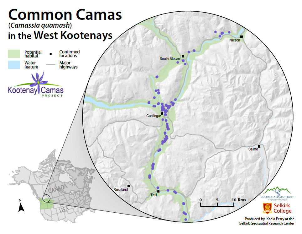
Look at the four wildflower photos and pick the one that shows common camas.
* * *
Camas grows from an underground bulb and produces tall stems covered in pale blue to lavender, star-shaped flowers with bright yellow stamens. These striking flowers bloom in spring and are sacred to the Sinixt, who call it ʔitxʷaʔ (pronounced it-kwah).
In fact, the spot you're standing on right now was once a camas field cultivated by the Sinixt! Do you see any camas nearby?
This heritage camas site of the ʔitxʷaʔ field has been threatened by careless treatment of the sacred plant, threatening its existence. With respect to the Sinixt, who have occupied this land for over 10,000 years, we ask:
Please do not touch or pick the camas you see.
The pictures below show four wildflowers that grow in British Columbia, but only one is camas.
. Sunningdale
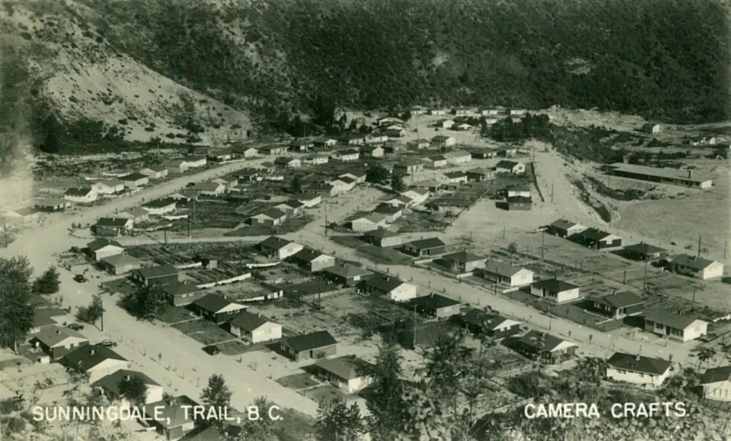
Olivia, Portia, Juliet, and Viola are some of the street names in Sunningdale. These streets were named after female characters in works by which famous playwright?
* * *
Sunningdale came into being after the Second World War, when there were hundreds of thousands of veterans who needed affordable housing. The Canadian Government responded by setting up the Canadian Mortgage & Housing Corporation and building housing projects across the country.
In 1948, a veterans' housing project on Sunningdale's upper bench began, and within three years there were over 80 suburban homes, as well as a school, and parks for the enjoyment of its residents.
It was a classic suburb of the kind built in the 1940s and 1950s, providing high quality middle class lifestyles for young families, that was easily accessible to the amenities and jobs in downtown Trail and at the smelter.
The developers wanted to make it even more of an attractive place to live by naming all the streets after a particular set of women.
. Trail's Neighbourhoods
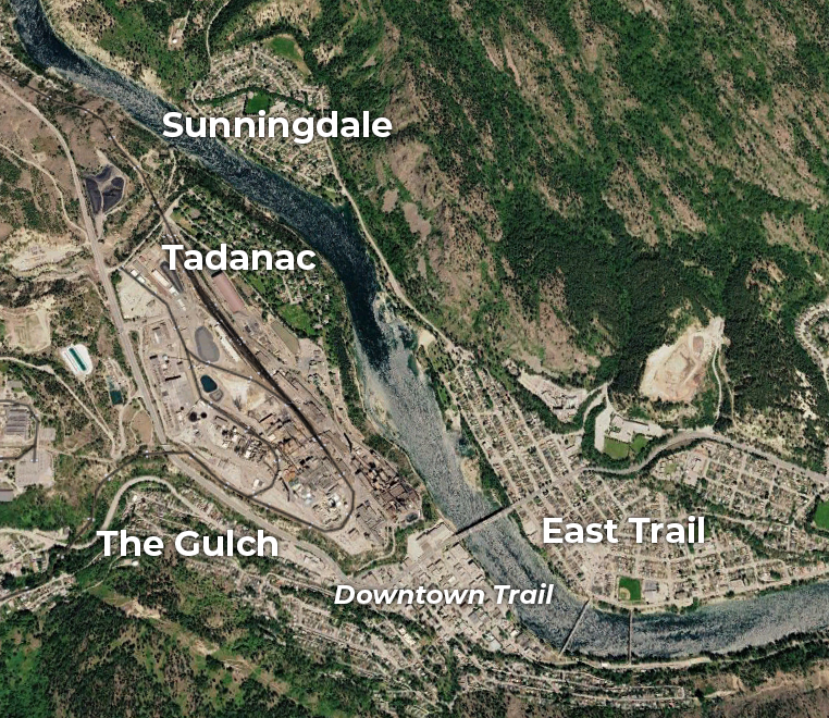
Read the descriptions of these Trail neighbourhoods and put them in order of their development, from oldest to newest.
* * *
Carefully read these descriptions of four Trail neighbourhoods:
Sunningdale: A post-World War II suburb developed as a veterans' housing project.
The Gulch: A hard-scrabble community for many Italian and eastern European immigrants who came to work at the smelter.
East Trail: A suburb that grew across the river after the first bridge was completed, safely connecting the east side of the Columbia to downtown.
Tadanac: An exclusive neighbourhood overlooking the Columbia River for top executives at the smelter. It was its own municipality until 1969.
. The Stone Bleachers
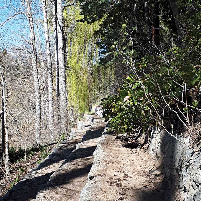
The kind of tradesmen who built these bleachers were Stone _____.
* * *
Right here beside Gyro Beach you can find another example of this fine stonework: these stone bleachers, six levels high and 73 metres long. They were built in the 1960s by Guglielmo "Bill" Di Domenico, and Stefano "Steve" Como, the same skilled craftsmen who built many of the rock walls around the city. Today, the bleachers are largely overgrown, but back when they were built, the water level of the river often rose to the bottom of the bleachers, since dams didn't then control the Columbia River's water level. People could watch others swimming, and jump right off the bleachers into the river.
. A Very Long Walk
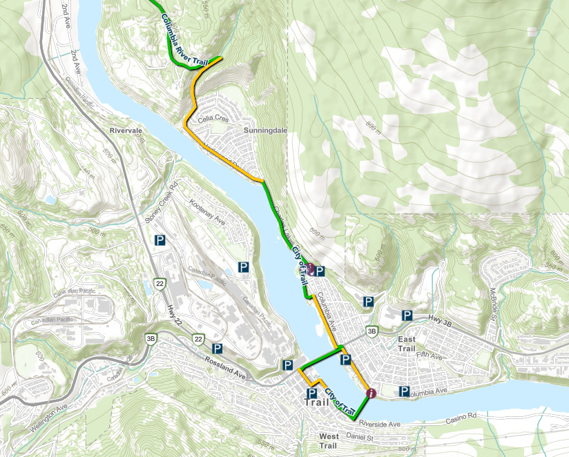
The path you are walking on now is part of which legendary transport network?
* * *
Later on, that trail network was expanded and others were built. This path you are on is now part of a vast trail network over 28,000 kilometres long, touches three oceans, runs through every province and territory in the country, and links 15,000 communities.
. The Place to Slow Down

The Sinixt used the creek on the other side of the river to gather what kind of berry?
* * *
Listen to how it is pronounced in n̓səl̓xčin̓':
The Sinixt knew this creek as an excellent place to pick the kind of berry you see pictured above. The Sinixt used these tasty berries in a range of sweet and savory recipes, as well as in traditional medicines.
These berries are found across western Canada, and got their name from the Cree language.
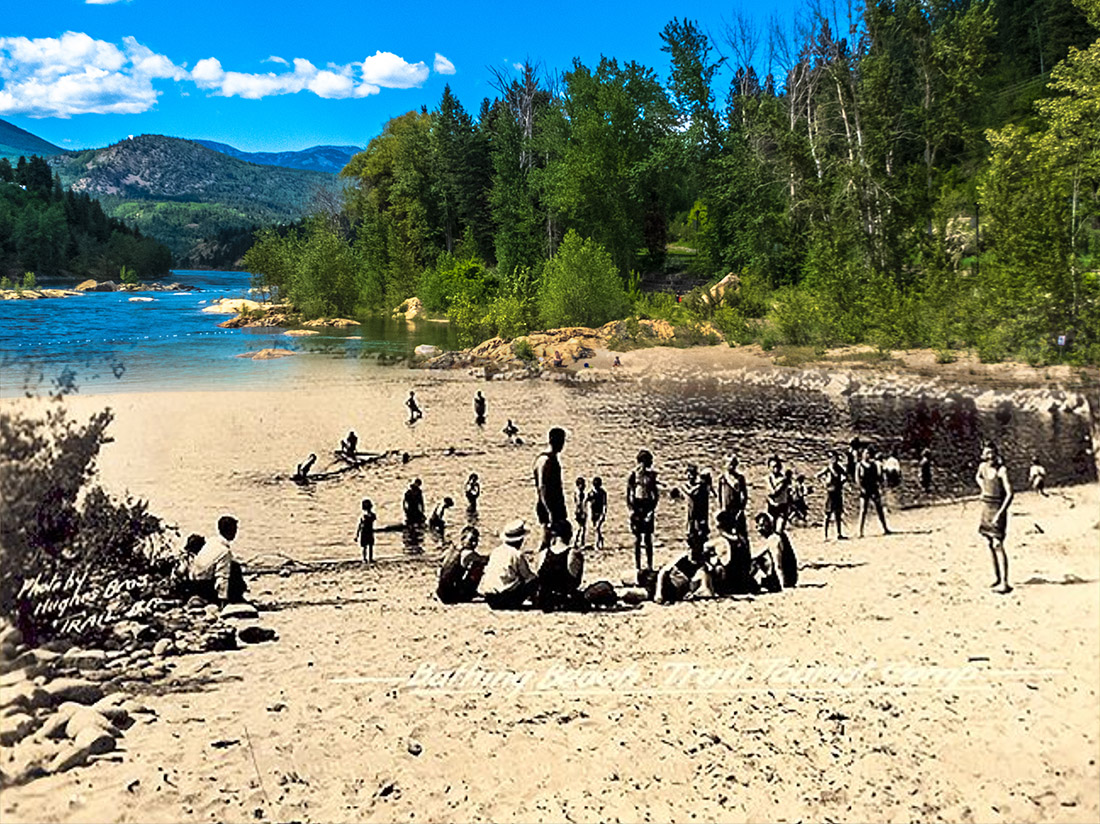
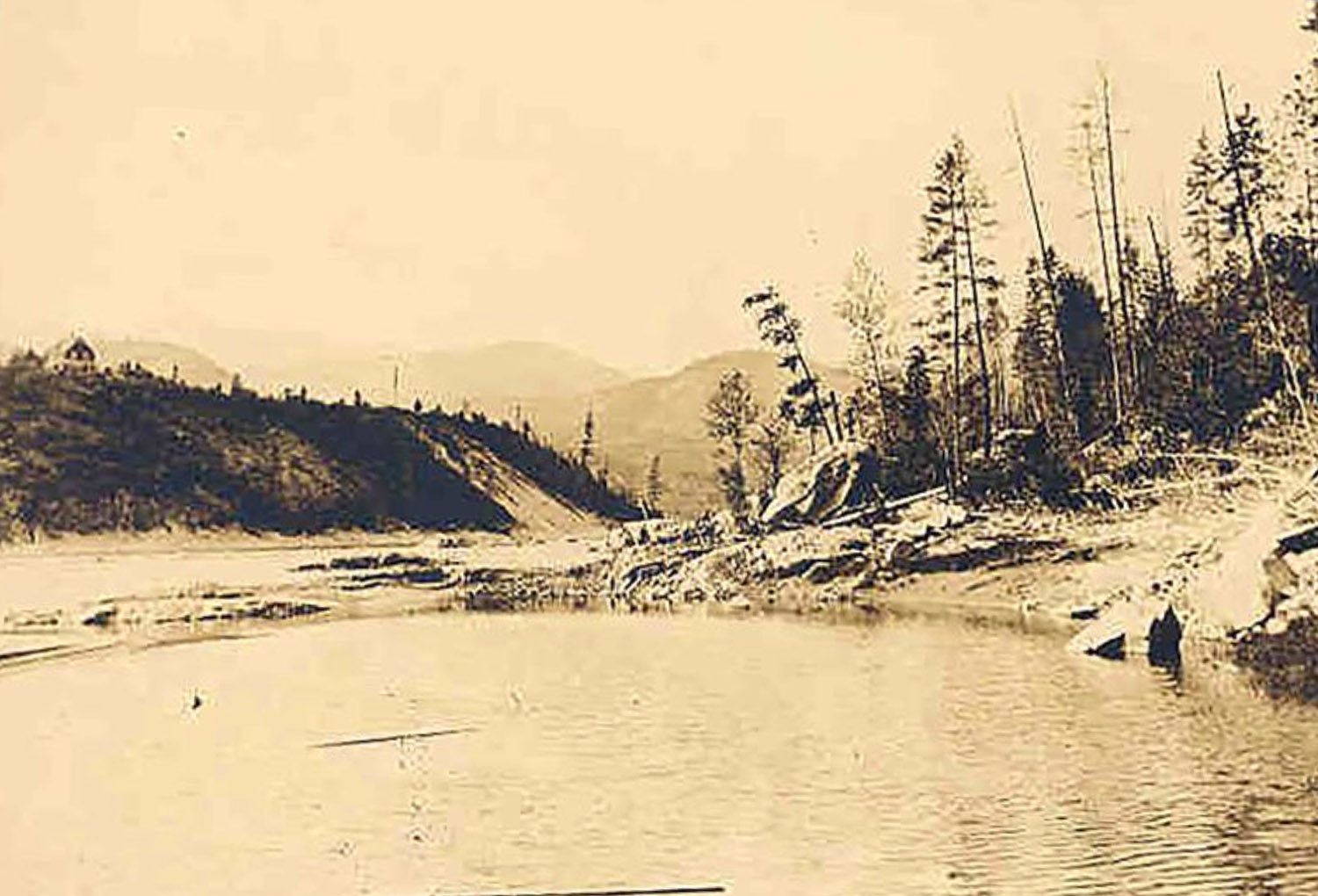
. A Day at the Beach
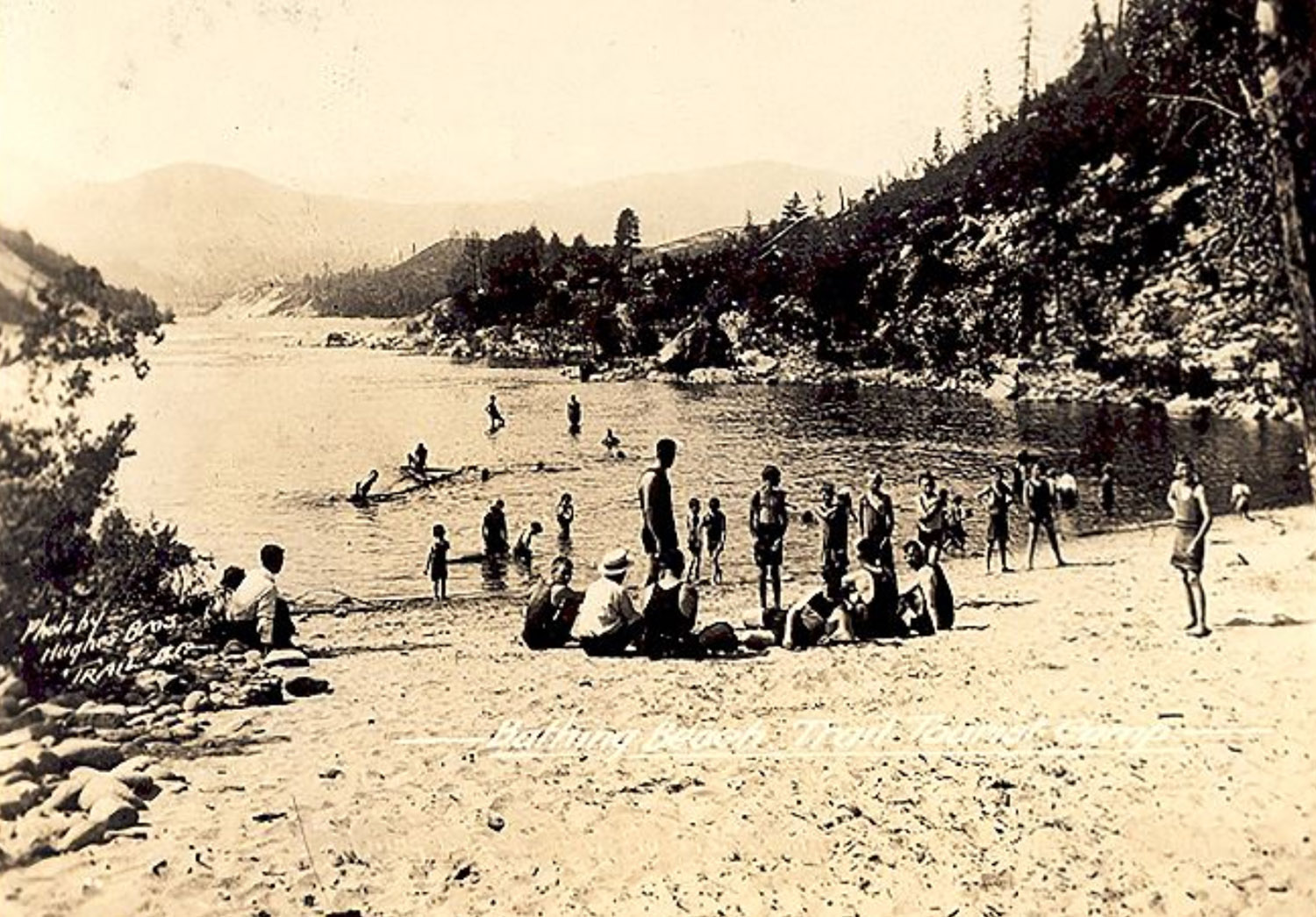
Trail Museum & Archives No. 6022
ca. 1900s
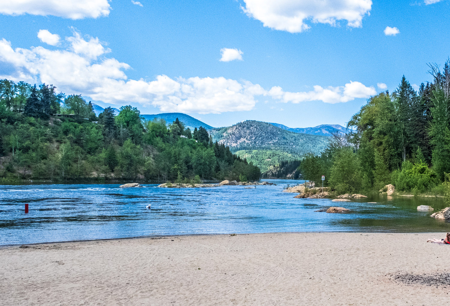
Try and retake this photo from the beach at Gyro Park from the same angle using the in-app camera. Be careful, the beach has changed a bit!
* * *
The First Peoples, the Sinixt, who have lived here since time immemorial, have been coming to this beach for many thousands of years. They called it Təčw̓l̓xíc̓aʔ. It means 'Mule deer buck approaches,' or 'Approaching the venison.'
Listen to the word and try to pronounce it yourself!
. The Smelter Across the River
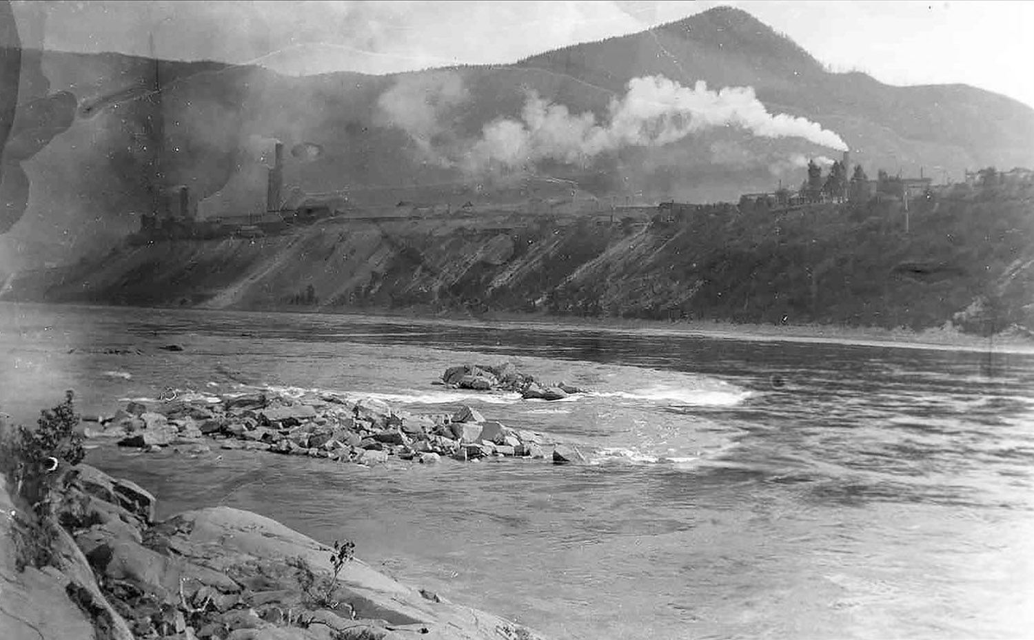
Trail Museum & Archives No. 7225
ca. 1920s
Try and retake this photo of the smelter from the same angle using the in-app camera.
* * *
. People of the Place of the Bull Trout
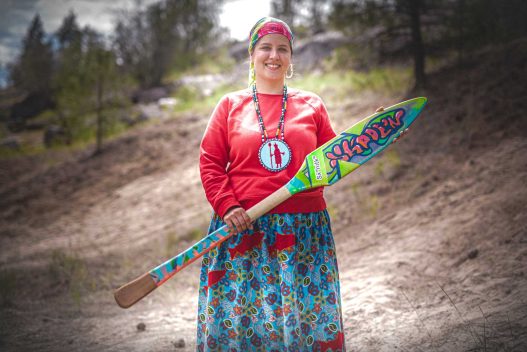
What is the name of the Indigenous people who have lived in this area since time immemorial?
* * *
The First Nations people of this region have a vast traditional territory that extends across the Upper Columbia River watershed, in the north past Revelstoke, down south to Kettle Falls in eastern Washington State. They call themselves the People of the Place of the Bull Trout, and they have lived here for at least 10,000 years.
The area around modern day Trail they called Sn̓sq̓ʷəq̓ʷliw̓m̓ k̓l̓ Wist which means 'picking place up high.'
Listen to the word and try to pronounce it!
In winter, they lived in warm, partially underground homes in well-sheltered valleys. In summer, they traveled by canoe up and down the Columbia River and its many lakes, fishing, hunting, and gathering food. Their pattern of life spanned their huge territory, with two of the most notable annual events being the June arrival of salmon at Kettle Falls in Washington, and the August gathering of huckleberries at Red Mountain (by Rossland) in British Columbia. This practice, which had been ongoing for millennia, was catastrophically disrupted by the 1846 drawing of the US-Canada border right between these two locations.
They spoke and continue to speak a dialect of the Colville-Okanagan language, one of the 23 Salish languages spoken by the First Peoples across much of the Pacific Northwest.
Listen to this clip of one of their speakers saying the name of their people:
. The Branded Neighbourhood
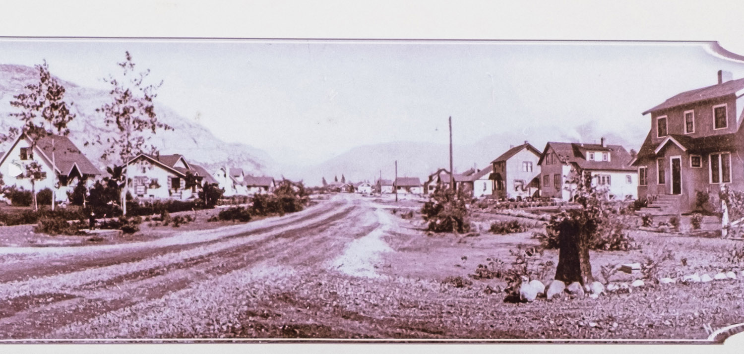
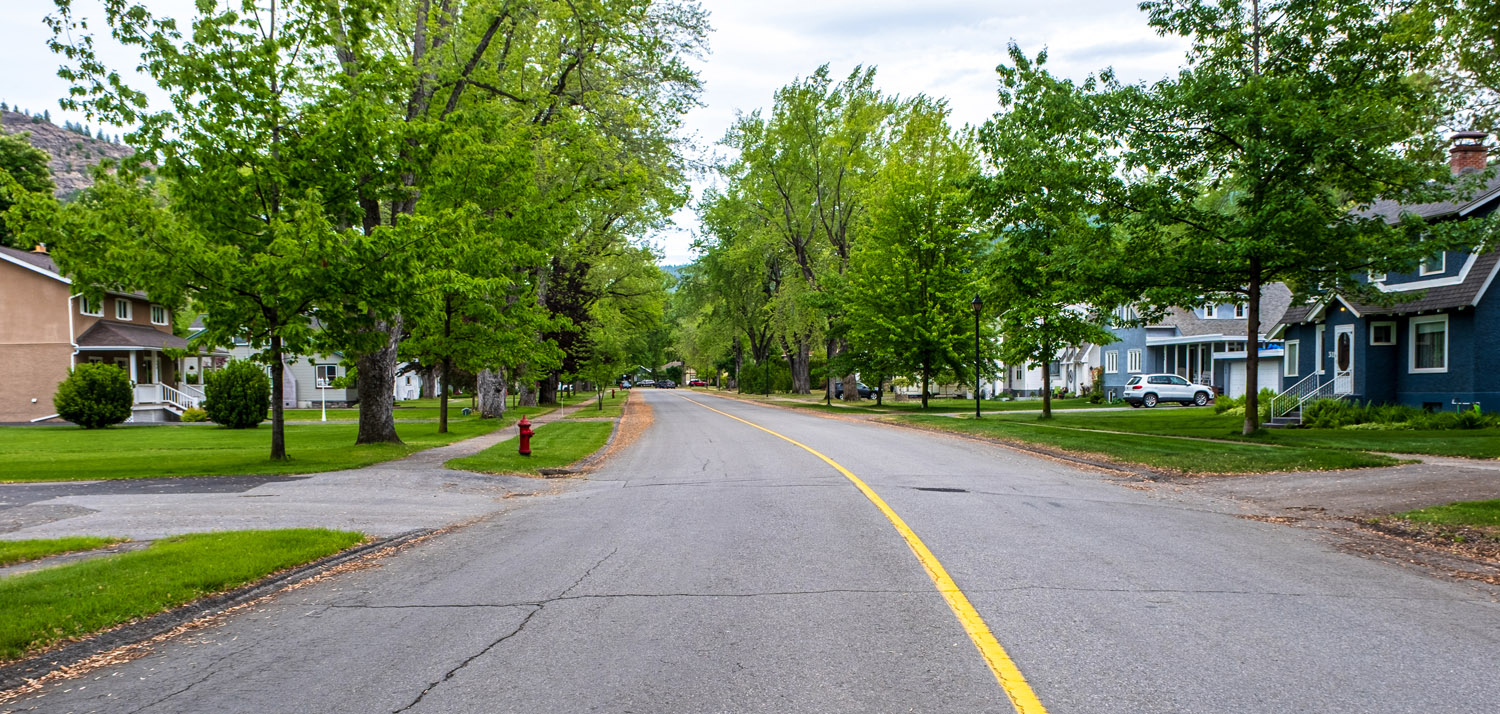
What is the name of the Trail neighbourhood on the heights directly across the river from where you are?
* * *
Curiously, it is the one neighbourhood in Trail that is named after a product. The metals produced by Trail's smelter began to be trademarked with this distinct name in 1916. They liked the name so much that when they were drawing out this new neighbourhood, they used it again.
The name was arrived at by spelling the name of a country backwards and adding a letter in front.
Bibliography
We hope you enjoyed this scavenger hunt experience brought to you by the Trail Museum and the City of Trail! Be sure to check out our other On This Spot scavenger hunts and walking tours in Trail, and more will be added all the time!